Tips and tricks for GeoGuessr game

Welcome to Geotips, your #1 resource for becoming better at Geoguessr!

This website is made by a selected team of the best players in the GeoGuessr community, all for free.

On the map below, click the region you want to expand or use the list on the top of the page. If you are completely new, make sure to read the tips at the end of this page as well.

Important news:

We are moving our house! From now on, you can find us on the official GeoTips discord located here: https://discord.gg/svhWzU7FMa

GeoTips Browser has been updated to v1.2

Included features: Full screen/Back to previous URL/Better Performance/Improved anti-cheat method

Download the browser here: GeoTips Browser v1.2

Records done with the GeoTips Records Browser will have priority in verification queue.

Did you hear we started a Geotips Pro League? Click here

Join us on the new discord!

Don’t forget to check our WORLD RECORDS page

World Map (updated often, keep checking)
Last maps updated:

Denmark, Faroe Islands, Svalbard, Norway, Sweden

General Tips and tricks

When you start the game, the first thing you have to do is look around. In addition to seeing whatever is there to recognize the country/area you also should look out for these metagame clues, which are also listed for each country when you click on them on the Geotips map:

Google Street View camera quality. There are 4 generations of Google Street View cameras, and they can be very helpful for you to narrow down which country you are in. The explanation of the camera types with examples can be found here: Camera Types Explanation

Google Street View car. The Google cars used for creating Street View in different countries were different. Some of them have the distinctive „bars“ or „roof rack“ on the car, some of them can be weird, and those that are completely regular can also have different colors.

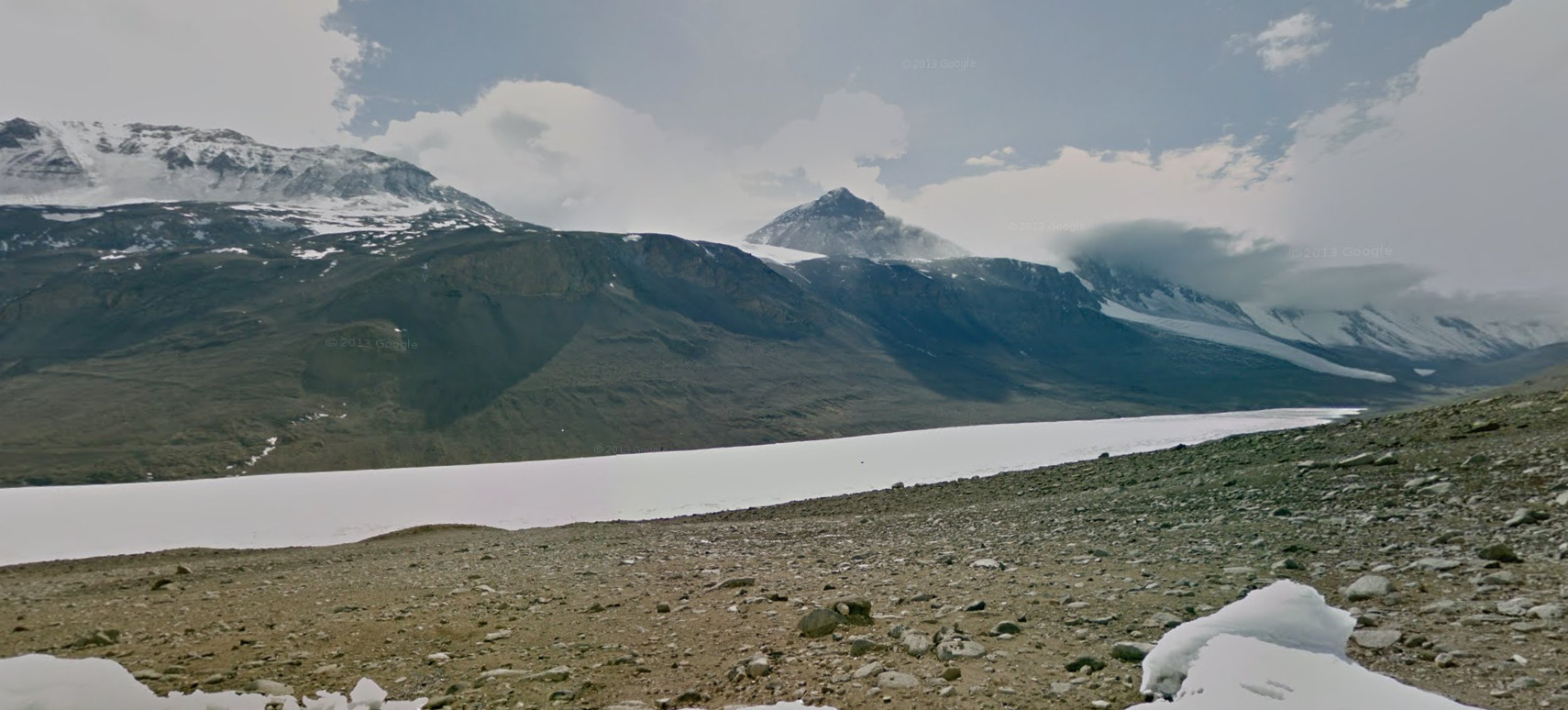
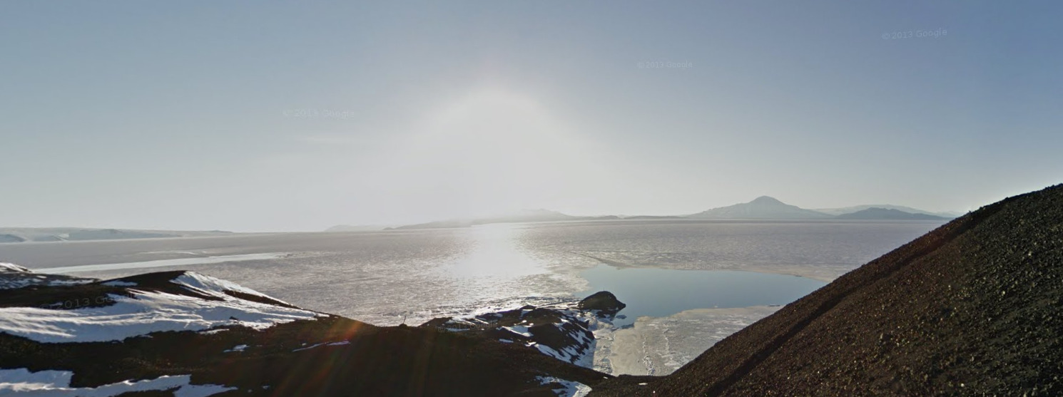
So, after looking at these “metagame” clues, you have to look at your surroundings and other stuff that is not connected to Street View itself. Sun can be particularly useful to narrow down the hemisphere you are in if you are not sure. Since you have the compass in-game on the left you can work out if the sun is in the north or the south from where you are (the red end of the needle points towards the north). If the sun is in the north, you are in the southern hemisphere, if it’s in the south, you are in the northern. This can be unreliable at the equator, or the sun may be in the middle, or sometimes when the sun is low.

Another very useful clue for narrowing down the country is the side of driving. The countries on the Geotips map are colored differently depending on whether they drive on the right (blue) or the left (red). After this, you can look at all the other clues that are listed in Geotips and more, whether you are moving or playing without moving around.

If you are moving around, it’s important to go in the right direction. The truth is that there is no hard rule that will always tell you which way to go, but there are some useful tips that can help you go the right way, although it always depends. The first tip is to go opposite from the way the Google car is going. You can work this out by looking for the back of the Google car or antenna, or by seeing other cars or just knowing which way the country you are in drives, or by looking on which side of the road signs are. This works because the Google car always went from the main road to cover small roads, so this should be the tactic there, on the small roads.
 
The other tip for which way to move is to go downhill. This is pretty straightforward – most settlements are situated in the valleys and not up in the mountains.
 
After working out which way you want to go, you need to find 3 main things most of the time – the country or state/region you are in, road number and settlement name. Of course, you can find whatever is helpful if it can get you to your goal. Don’t forget to remember which direction you went from the start and where you went, ’cos that can be useful for pinpointing later, and also the street/road name at the start.
 
When you gather some info, another very useful thing for pinpointing the location, working out which road you are exactly on or which part of the road you are on is to use the orientation of the road. Point the camera straight north by using the compass and see which direction the road is going. It should correspond to the direction of the road on the map.
 
You can also use this on intersections, for pinpointing the exact location, working out your position with a landmark, coast orientation, river direction, and in many other situations, so the compass is a great tool that shouldn’t be underestimated. Also, don’t forget that houses/buildings are on the map and in some countries they even have numbers.

These are some general tactics used by the best GeoGuessr players that will be of great use in your GeoGuessr endeavours and help you get the best score possible in your games. Continue exploring!